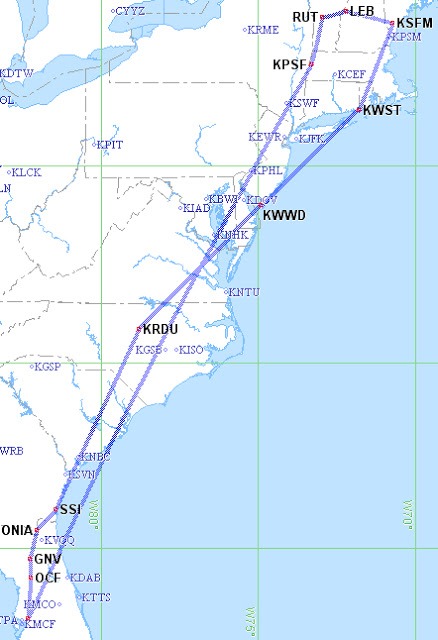
East Coast Journey (Day 2)
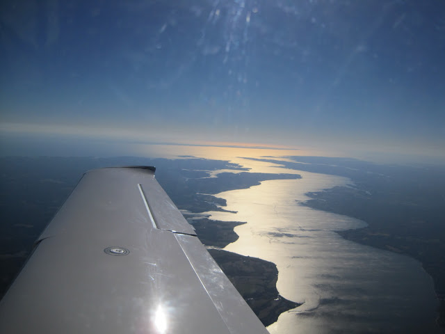
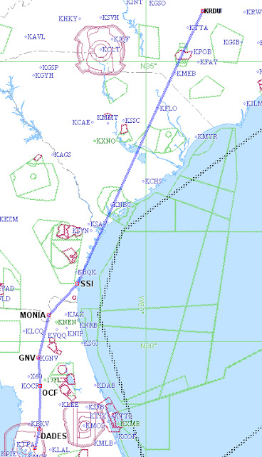
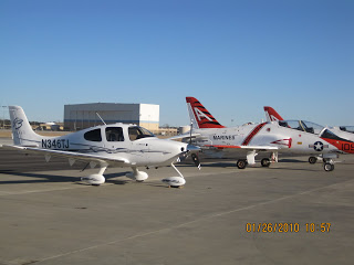
Day 2 was a rather simple day of flying… But it did include 3 new states, unusual ATC interactions, and best of all some awesome sites. The day began in Raleigh, with another good weather forecast. I filed IFR RDU > LVL > WWD (Wildwood, NJ) Very simple routing that avoided the Washington DC Special […]
East Coast Journey (Day 1)
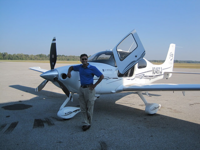
Day 1 went off “almost” as planned. I was so excited to begin my journey. I arrived a couple of hours early to the airport so that I could do a thorough pre-flight and still have time to “correct” anything that may have needed attention. Luckily everything checked out OK and after a whole bunch […]
East Coast Journey (Day 0)
So tomorrow is really day 1 of the journey. But tonight, was time for the flight planning. My general sequence is usually as follows: 1 Weather 2 Route Selection 3 Airport/FBO selection Then if time permits 4 Lodging 5 Ground Transport. But if time doesn’t permit getting to 4 or 5, I am usually happy […]
Sunrise Flight to Miami
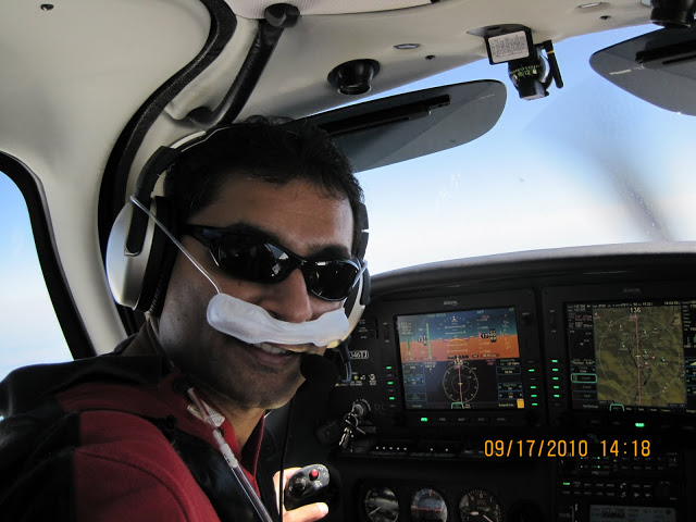
While I am not a huge fan of night flying, I do love departing in the dark and being airborne for sunrise. The ride is usually smooth, clear and best of all, so “empty” that ATC will usually grant any “crazy” routing I come up with. Today was no exception. After an uneventful pre-flight (in […]
Planning The Next Big X-Country
After getting serious about “My 50 State Quest”, I have come to realize how much planning is involved. The first 25 states just sort of happened as a byproduct of Work, Angel Flights, and General Joyrides. However, the next 25 states will require much more active planning. So here we are, near the end of […]
Trip Home from Chicago to Tampa (States 24 & 25)
Finished work early… Now time to go home from Chicago… I just couldn’t resist taking a slight detour to land in 2 new states. The route is show below and includes a quick lunch in Iowa and an even quicker stop in Missouri. But this makes state # 25!!! Weather was CAVU after getting above […]
Trip To Lexington (State #23)
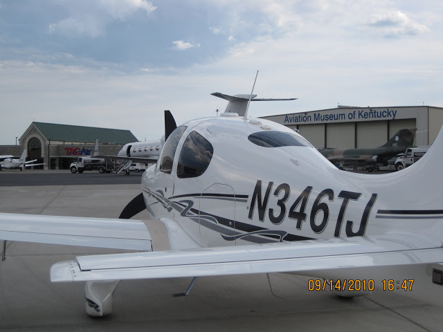
In my ongoing quest to land in all 50 states, today I landed in state # 23!! My routing, as shown below, was nearly direct… (other than a little maneuvering around a couple MOAs) It has been ~ 3 weeks since my last IFR X-Country. Fortunately, today’s trip was rather uneventful. The weather was near […]
Trip To Chicago
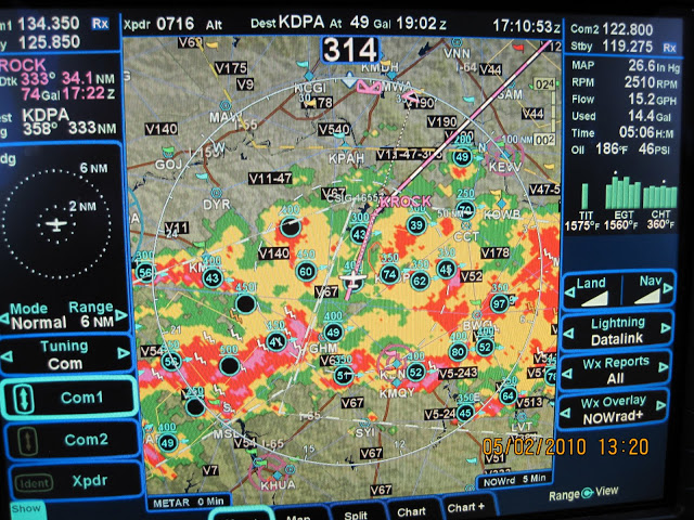
This week I had some meetings in Chicago and it gave me a great excuse to put the Cirrus and R9 to the test and land a new state at the same time 🙂 My planned route was fairly simple: KVDF>CTY>KSYI (Fuel Stop) > KDPA. Weather forecast was not very cooperative. (But still safely within […]
Trip To Meridian, MS
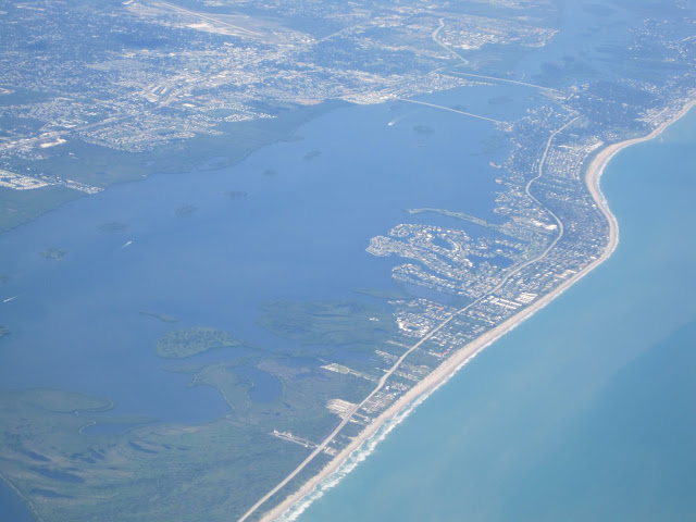
Like most of my flights that head NW bound, this flight was up to Cross City then direct destination. The Crystal River Nuclear Power plant… (Rather cool site in an otherwise empty part of the state) Aerial view of the Crystal River airport. (Did lots of landing practice there as a student pilot years ago) […]