Angel Flight To Stuart
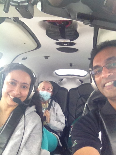
It has been a while since my last Angel Flight mission. In fact, I don’t remember exactly when the last one was. So today after work, I decided to fix that by transporting a Moffitt patient (Mendis) and her daughter (Carmen) from Tampa to Stuart, which is on the east coast of FL. The weather […]
Finally The Storm Has Passed
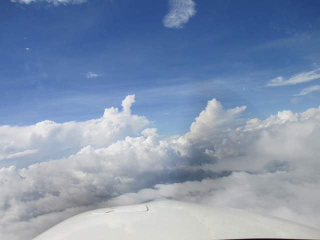
Tropical Storm Debby finally passed most of the state of Florida yesterday! I was very disappointed that I couldn’t continue the seaplane training this past weekend. Worse yet, the seaplane base is closed next weekend due to the Brown family vacation! So that will need to wait till sometime in July. After 3 days of not even […]
Presidential TFR Delay
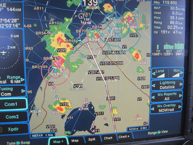
I was planning a short joyride to FT Lauderdale for lunch last week. However, President Obama was in town and the corresponding temporary flight restriction (TFR) made my home airport a “no fly zone” until 3:15pm. Apparently, the president didn’t know (or care) about my plans… So I had to wait till he was […]
Shaking Off the Rust / Test Flight
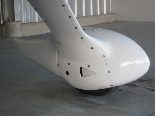
Last week I returned from China and was planning to go a for a joyride with a fellow pilot named Ron, who was visiting town from Atlanta. This flight was a multi-purpose mission: First, and most important, I wanted to “shake off the rust” after 2 1/2 weeks of zero hours in the logbook. Second, […]
Tough Start To A Very EZ Journey
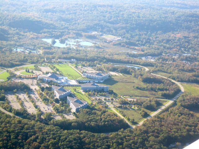
This week’s mission was to go from Tampa,FL to Danbury, CT, which is a perfect mission for an SR22 with one fuel stop. Surprisingly, the weather forecast was beautiful everywhere along the route except Florida. Usually, it is the other way around. So I was expecting a takeoff in moderate / heavy rain, which is OK. […]
Holding Pattern Without A Shuttle View
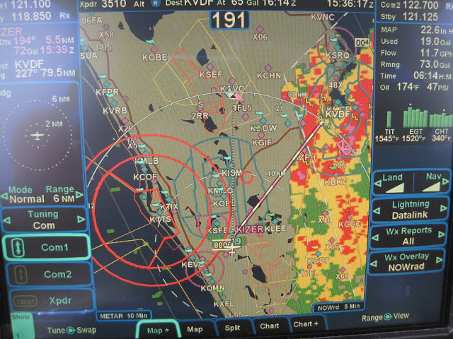
As everyone knows, today was the day for the space shuttle’s last mission. I didn’t have tickets to see the launch in person. But I really wanted to see it. So I came up with what I thought was a clever plan. I would fly the Cirrus upto 17,000 FT and go into a holding […]
Scenic Trip to Cedar Key
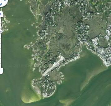
This morning I woke up and looked outside to find typical weather for FL. Sunshine as far you could see ; Clear blue sky ; AND a perfect day to go flying! After my recent CPPP training, I have been sufficiently brainwashed into treating every flight as an opportunity to practice something. So this morning, I […]
Off To Training In Atlanta
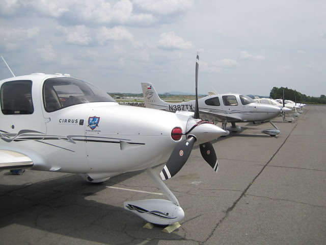
It’s that time of year again. Like most pilots, my insurance company “requires” (or should I say “financially encourages”) me to take annual recurrent training. The first few years of plane ownership, I would simply follow the basic FAA Wings program and do some 1-1 training with a local flight instructor. This was enough to […]
Learning New Tricks In Hilton Head
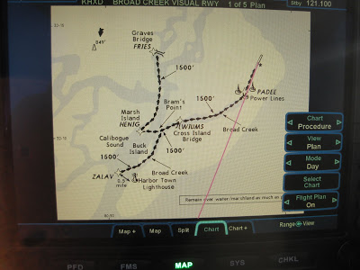
After 300+ hours flying behind the R9 screens, I thought I knew everything there was to know about R9. But at the risk of sounding like an “old dog”, yesterday at the R9 User Group Meeting in Hilton Head, I learned a couple of cool new tricks! The weather was excellent and Hilton Head is […]
Bahamas Practice Flight
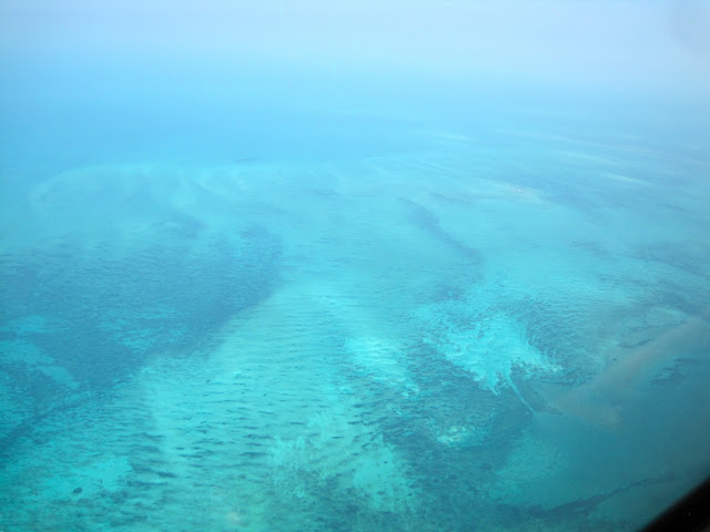
My international radio license arrived yesterday in the mail. Earlier in the week, I saw online that it had been approved. But didn’t get the official paper in the mail till yesterday. That meant that today was the day for the long overdue Bahamas flight!! It was really perfect timing because the plane is going […]
